Ana-Maria Branea, Marius Găman, Alvaro Sanchez Garda, Pepe Lacruz Vela, Xander Van Dijk, Izabela Slodka

Author(s) / Team representatives

Ana-Maria Branea, Marius Găman, Alvaro Sanchez Garda, Pepe Lacruz Vela, Xander Van Dijk, Izabela Slodka

Profession

Arhitecți, urbaniști

Collective/office

Două Puncte Studio, Studio Iza Slodka, Pepelacruzarch

Project location

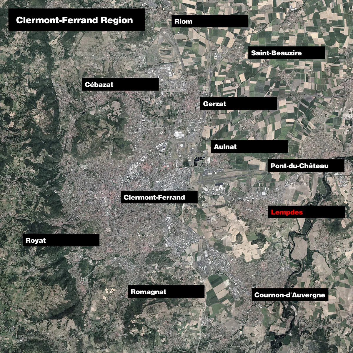
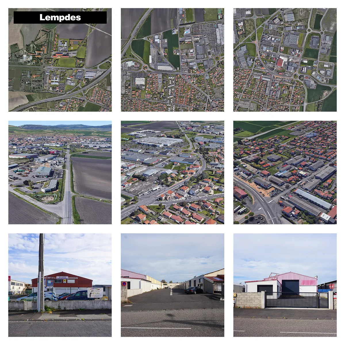
Lempdes, Clermont-Ferrand Region, France

Budget in euros

-

Area

2 750 400 mp

Project start date

2022

Project completion date

-

Client

Clermont-Ferrand City Hall

Website

See Website

Photo credits

Marius Găman

Text presentation of the author/office in English

Marius Găman and Ana-Maria Branea work under the :STUDIO name as a research and experimentation laboratory focusing on understanding and exploring urban patterns and parameters, transformations and planning practices, architecture and design. :STUDIO is dedicated to creating sustainable interventions and projects, developed mainly for competitions or academic research. These investigations and experiments have been published, awarded, and exhibited nationally and internationally.

Project description in English

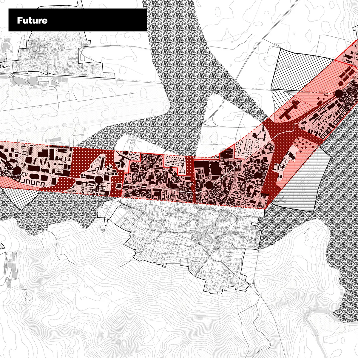
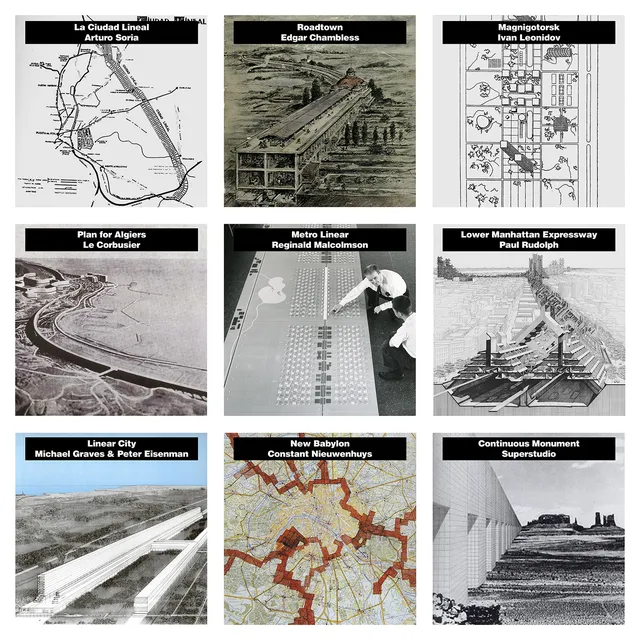
What if industry wasn't leaving our cities, treated as a barrier, ignored or left to its own devices? What if we rethink industry as connecting infrastructure, an innovation generator, a social and education hub, a facilitator and most of all a chain reaction. The territory surrounding Clermont-Ferrand is vertically divided into natural and agricultural areas with smaller concentrations of local urbanisation scattered in-between the fields. Current industrial expansion encroaches over the mono-agricultural cover of the land as limbs of production stretching-out from the villages along the trajectory of the roads connecting them to one another. The projects’ aim is to take advantage of the potential of the identified developing linear urbanization as a natural network which can grow eastward, unobstructed by the ecologically permeable nature of the expanded, connecting ribbons. 400-meter-wide strips, centered are proposed as a connecting zones with the capacity for a diversified, redistributed productive program within. The subsequent cross-pollenation of education, industry and production, can accelerate innovation and the interconnectedness will likely lead to a faster exchange of knowledge. The ribbons become speckled with intermediate destinations on places that used to be merely points along the way. Thus, the previously uniform road transforms into a complex and layered connection, with a locally differentiated character, depending on its intersection with regions of urbanity, agriculture or production. The looser structure dissolves the boundary, making it more porous, potentially allowing nature to flow through. By intensifying the land use, shifting from a “stroad” structure where all activity is hidden in a big box-littered landscape, unfriendly to humans and nature alike, and by densifying production areas, the surrounding landscape is protected. Both agricultural land and nature corridors are relieved of real-estate pressure. The porous infrastructure forming at the intersection of natural and productive corridors define the landscapes’ newly imprinted pattern. A simplified mix-and-match system for functions, guides their positioning by level, necessary street width, 24-hour use cycle, and placement in relation to the street. Mixed use ensures continuous use, while activities can frictionlessly succeed each other. Disruptive functions can be accommodated within the production landscape in a work-by-day party-by-night, 24 hour use cycle.